MarketMAPS BLOG
DATA MAPS
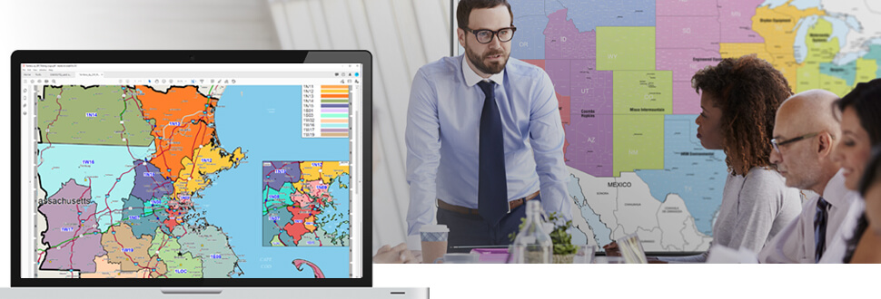
Make Better Data Driven Decisions with Sales Territory Maps
January 27, 2021

Balance Workload & Eliminate Conflicts
Designed for Your Business
- Any geography – Carrier Route, Zip Code, Metro Area, County or custom boundaries.
- Any format, wall maps, digital maps and map books.
- Wall map sizes from sizes 2x3 to 9x12 feet and larger.
- Finish your map with Frames, Magnetic Backing, Lamination and more.
Your Sales Territories
on Custom Maps
- Use data including demographics, consumer spending or your own sales and customer data.
- Choose custom colors for your territory boundaries and shading.
- Mark your locations and competitor locations with logos.
- Overlay radius rings and drive time areas.
Most Recent Blogs
 DATA HIGHLIGHT
Companies that stay ahead of the competition use the most accurate and up-to-date demographic data. When you're making important...
Continue Reading →
 DATA MAPS
Whether a nationwide home health care company or a local chain of quick service restaurants, customers are better able to manage their growth with Territory & Trade....
Continue Reading →
 DIGITAL MAPS
Receive Your Maps as
Fast as Same Day
Any coverage area - Nationwide to Neighborhood & International...
Continue Reading →
Return to MarketMAPS Blog Home
 On Target. On Time.
The maps you need,
when you need them
 Maps of Everywhere
From World to National to Local